Showing posts with label adventure. Show all posts

Tuesday, July 19, 2011

My World#122 Cagayan de Oro's Whitewater Rafting

Photobucket

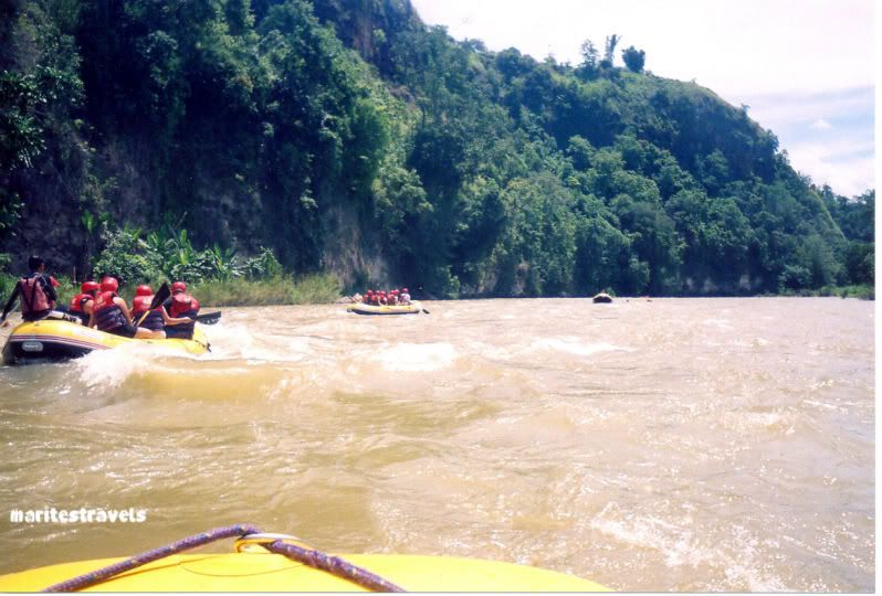
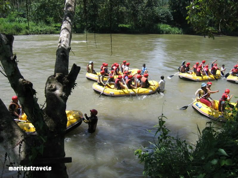
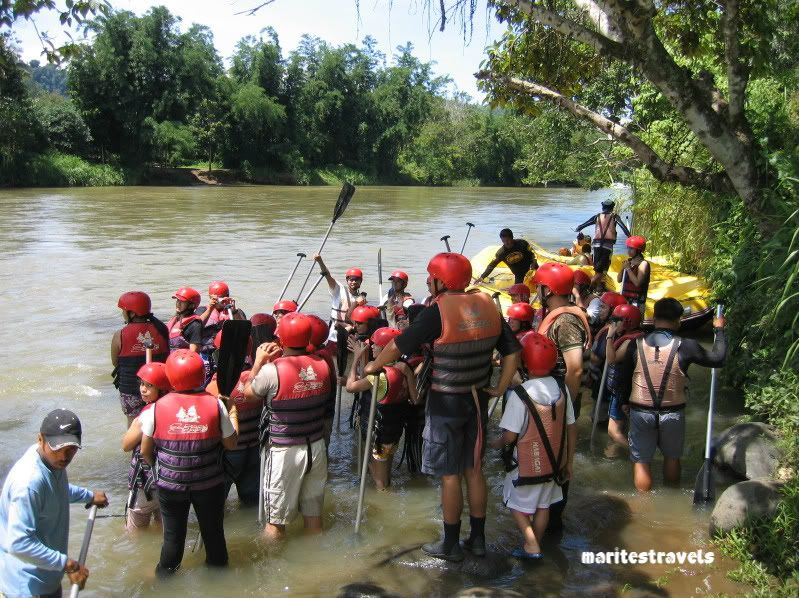
Before Davao City started having their own whitewater rafting adventure, Cagayan de Oro City already had theirs years ago. Whitewater rafting in Cagayan de Oro became so popular that it is considered a must-do for visitors and locals. Years ago, the fee was P2,000 (minimum of 4 persons)  inclusive of free buffet lunch (grilled seafood, rice and roasted chicken, yummy!), a bottle of mineral water,  free use of helmet, paddle, drybag and the rubberboat. I heard that it is now P1,200 minimum of 4 persons but without the delicious buffet lunch.

Photobucket


Before we started tackling the churning waters of Cagayan de Oro river, we were taught the basic rules for whitewater rafting which are: Listen carefully to your leader-boatman. Follow his instructions. Pray, paddle, pray and paddle. Of course, we were also taught how to handle our paddle to keep our rubberboats floating over the churning waters and to prevent ourselves from getting overboard (some did get thrown overboard and survived the churning waters minus the rubberboats).

Photobucket

For beginners, the whitewater rafting runs about 3 hours with 14 rapids to tackle with 10-15 minutes interval for every rapid. Along the way, aside from beautiful sceneries to see, there were lush vegetation and some monkeys gawking curiously at us, water rapids that folded our rubberboat into half, whirlpools and churning waters that almost ate my paddle, and jutting mountain walls (a certain wall had snakes sleeping on its holes/crevices) to tackle.

Photobucket

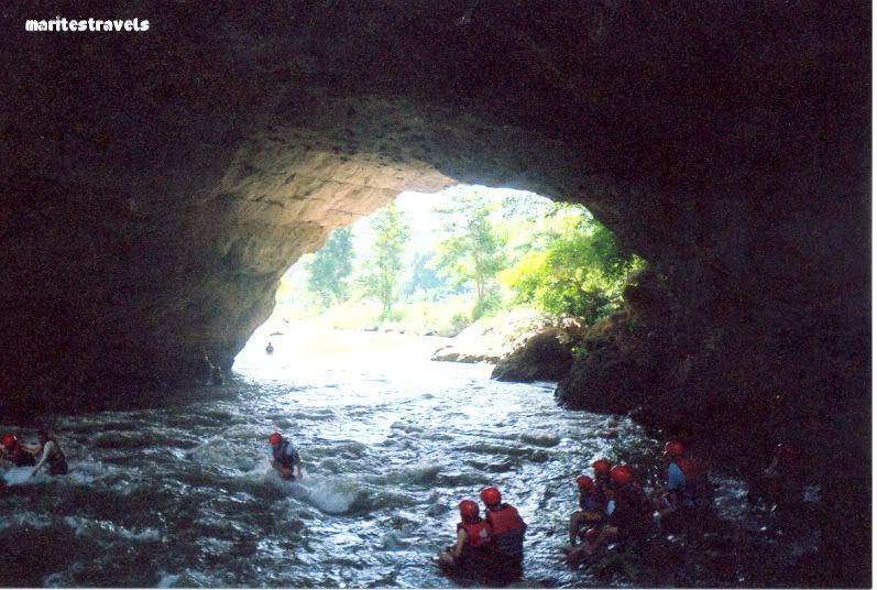
After some paddling, we took our rest in this cave which turned out to be nerve wracking because of its fast and heavy current that we need to traverse to get to the spot where we can sit on some rocks. Thank goodness for our ever-helpful and vigilant boatmen, they helped us crossed to the other side.

This is my entry for:

Go here for more entries.

SHARE AND ENJOY THIS POST: Digg ThisAdd To Del.icio.us Add To Furl Add To Reddit Fav This With Technorati Add To Yahoo MyWeb Add To Newsvine Add To Google Bookmarks Add To Bloglines Add To Ask Add To Windows Live Add To Slashdot Stumble This

Thursday, July 15, 2010

Skywatch# 39 Caleruega's Cul-de-Sac

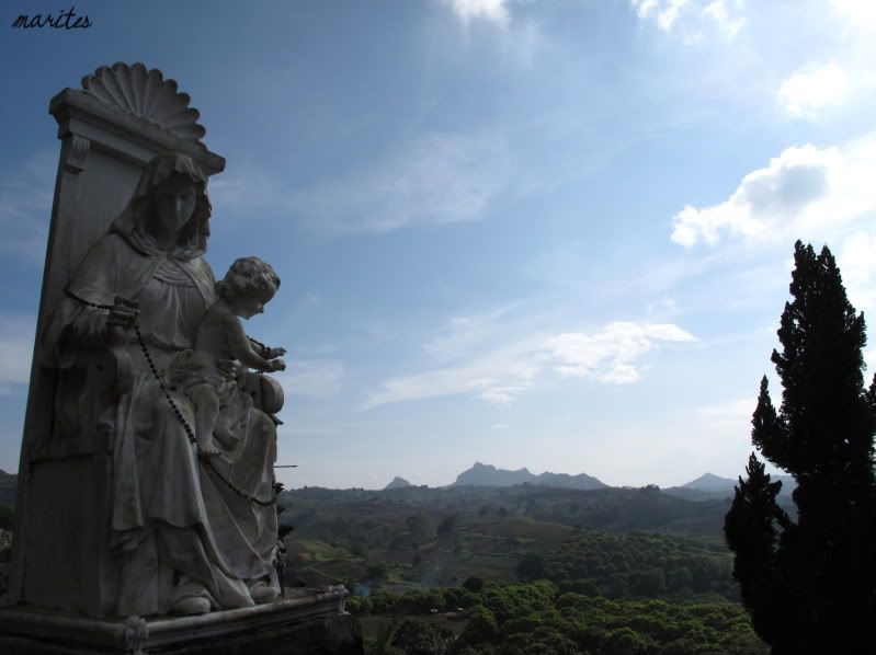
We found this breathtaking view at the Caleruega's cul-de-sac. A quiet place for meditation while taking in the view.

Caleruega is situated at Brgy. Kaylaway, Batulao, Batangas, Luzon. The place is run by the Dominican priests. Over the years, it has gotten popular for weddings because of its isolated but quite beautiful surroundings.

Photobucket

For more about Caleruega, the Church on the Hill, go here and here.


Go here for more Skywatch entries.

SHARE AND ENJOY THIS POST: Digg ThisAdd To Del.icio.us Add To Furl Add To Reddit Fav This With Technorati Add To Yahoo MyWeb Add To Newsvine Add To Google Bookmarks Add To Bloglines Add To Ask Add To Windows Live Add To Slashdot Stumble This

Thursday, May 20, 2010

Skywatch#32 Mt. Pinatubo: Lahar Pastureland

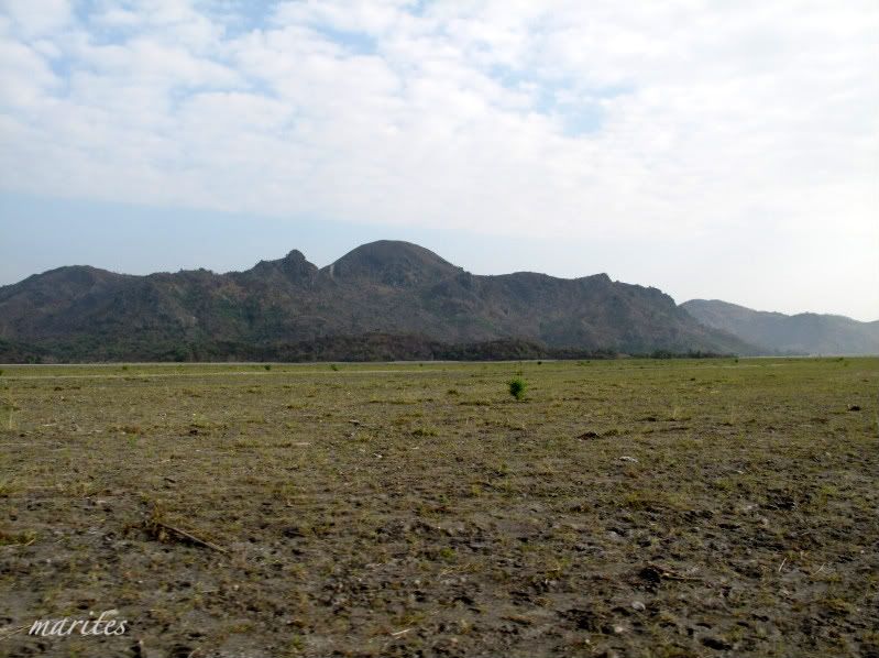
As we rode our 4x4 vehicle going Mt. Pinatubo under blue skies with scattered fluffy clouds, we passed by not only the lahar-covered lands of Tarlac but surprisingly, a small patch of pastureland where cows can be seen scattered around.

For more than a decade, lahar ruled supreme all over the then part of the rice basket of the Philippines. Hectares and hectares of ricefields, forests, rivers, streams and communities were inundated by lahar during and after the 1991 Mt. Pinatubo eruption. Slowly though, the land is healing.

Photobucket


Go here for more Skywatch entries.

SHARE AND ENJOY THIS POST: Digg ThisAdd To Del.icio.us Add To Furl Add To Reddit Fav This With Technorati Add To Yahoo MyWeb Add To Newsvine Add To Google Bookmarks Add To Bloglines Add To Ask Add To Windows Live Add To Slashdot Stumble This

Monday, January 25, 2010

My World#56 Rockies, Mt. Apo, Mindanao

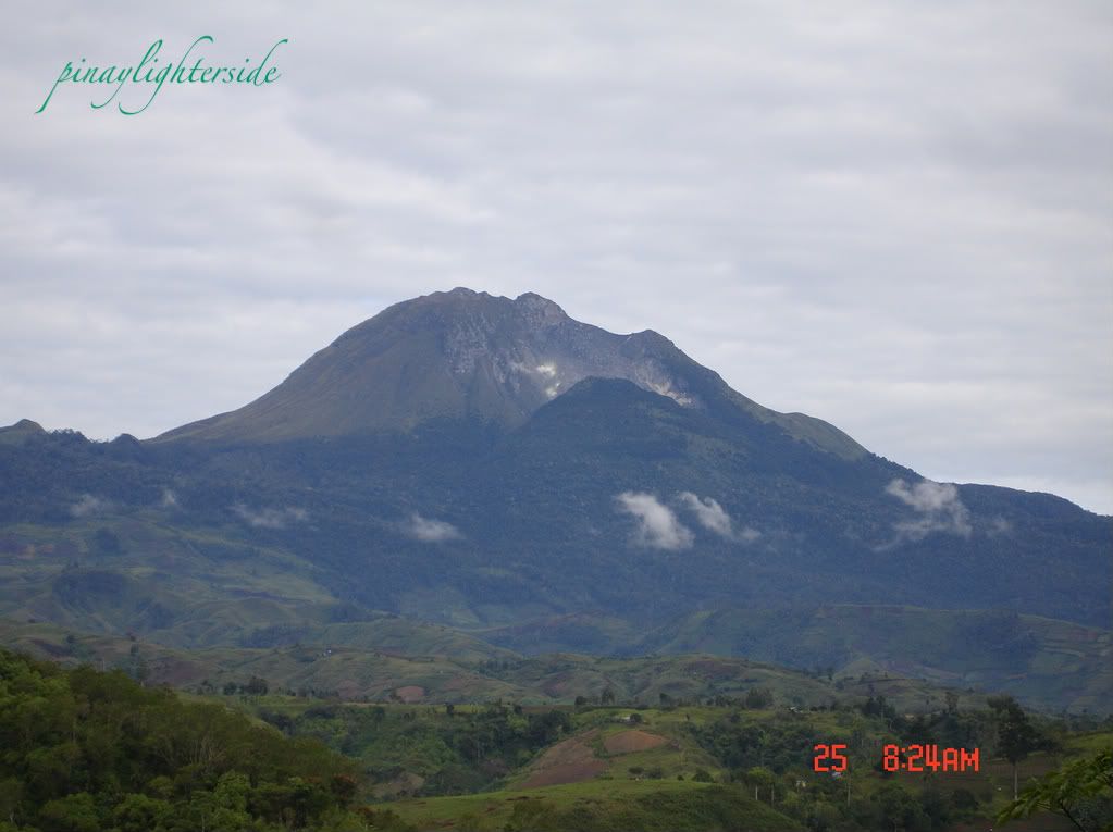
This is the grandfather of the Philippine mountains, Mt. Apo. Standing at 2954 meters, it is the highest mountain of the Philippines and a popular mountain climbing destination especially during summer. There are several trails leading to its summit and it takes about 2-4 days to reach its peak.

Mt. Apo

Considered as one of the more difficult trail is the Kapatagan Trail which passes thru the rocky portion of the mountain that faces the town of Kapatagan (right side of the picture).

Mt. Apo,mountain climbingAlign Center

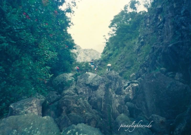
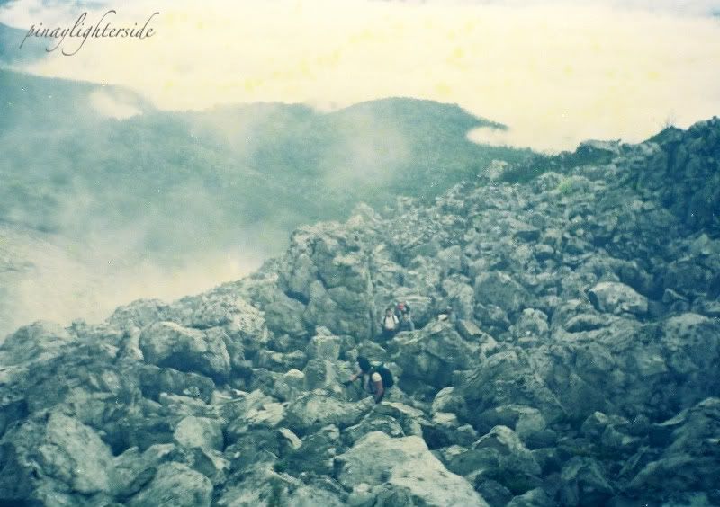
The above picture is the start of the "rockies" part of Mt. Apo where climbing means jumping from one giant volcanic rock to the other. It was raining when we did this climb which serendipitously was an advantage for all of us as the volcanic rocks were quite warm to our touch. We can smell and see sulphur smoke emitting from the vents between the rocks and it would have been a very difficult climb if it had been a hot day.

mountain climbing,Mt. Apo,Mindanao

Fogs covered the cityscape behind us while we tackle the rockies.


Go here for more My World entries.

SHARE AND ENJOY THIS POST: Digg ThisAdd To Del.icio.us Add To Furl Add To Reddit Fav This With Technorati Add To Yahoo MyWeb Add To Newsvine Add To Google Bookmarks Add To Bloglines Add To Ask Add To Windows Live Add To Slashdot Stumble This

Thursday, November 12, 2009

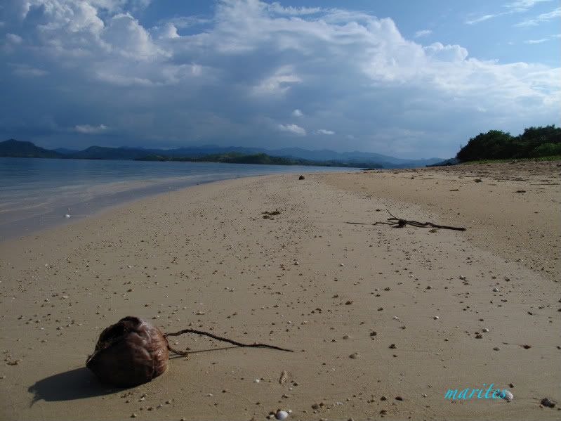
Skywatch#7 Caramoan, Camarines Sur

This picture was taken in Bag-Ing Island, Caramoan Peninsula, Camarines Sur, Phillipines. The place is really beautiful and at that time, was being used as one of the location sites of the reality show, Survivor Europe. Good thing though that they were just done with their challenges that day and the Survivor participants have gone to their camps in another island; we were able to explore the island all by ourselves.

Caramoan,Luzon,Philippines,island,beach,CAMSUR
Go here for more Skywatch entries.

SHARE AND ENJOY THIS POST: Digg ThisAdd To Del.icio.us Add To Furl Add To Reddit Fav This With Technorati Add To Yahoo MyWeb Add To Newsvine Add To Google Bookmarks Add To Bloglines Add To Ask Add To Windows Live Add To Slashdot Stumble This

Monday, October 19, 2009

My World #44 Cathedral Island, Hundred Islands, Alaminos, Pangasinan

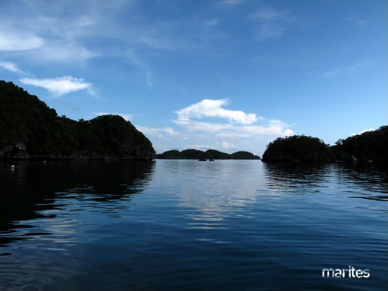
This is Cathedral cave-island, one of the 124 islands in Hundred Islands National Park, Alaminos, Pangasinan. It was named as such as its shape and entrance looks like a cathedral. It was also said that there are rock formations inside the cave that are shaped like benches of a cathedral. Boats can actually get in the island and see the rock formations inside.


This is my entry for:

Go here for more My World entries.

SHARE AND ENJOY THIS POST: Digg ThisAdd To Del.icio.us Add To Furl Add To Reddit Fav This With Technorati Add To Yahoo MyWeb Add To Newsvine Add To Google Bookmarks Add To Bloglines Add To Ask Add To Windows Live Add To Slashdot Stumble This

Saturday, September 12, 2009

Hundred Islands, Alaminos, Pangasinan

These are some of the pictures I took while I was on vacation in Hundred Islands National Park, Alaminos, Pangasinan. Enjoy!


SHARE AND ENJOY THIS POST: Digg ThisAdd To Del.icio.us Add To Furl Add To Reddit Fav This With Technorati Add To Yahoo MyWeb Add To Newsvine Add To Google Bookmarks Add To Bloglines Add To Ask Add To Windows Live Add To Slashdot Stumble This

Tuesday, September 1, 2009

My World#37 Hundred Islands, Alaminos, Pangasinan

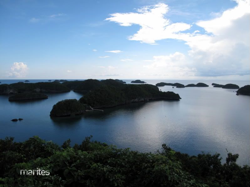
The Hundred Islands National Park is located about 257 kilometers northwest from Manila, Philippines. Scattered all over Lingayen Gulf, these 124 islands were estimated to be 2 million years old.

When we got there last week, the water was so calm and the islands looked so beautiful especially during the early morning when the morning mist was still covering the islands. They looked so mystical as seen from our hotel. We did some island hopping and soaked in the water most in the afternoon. There were three developed islands: Governor, Quezon and Children. We did most of our swimming at the Lopez and Scout islands were we had the islands for ourselves..BLISS!

More story about this trip here.


This is my entry for:

More Hundred Islands picture here.

Go here for more My World entries.

SHARE AND ENJOY THIS POST: Digg ThisAdd To Del.icio.us Add To Furl Add To Reddit Fav This With Technorati Add To Yahoo MyWeb Add To Newsvine Add To Google Bookmarks Add To Bloglines Add To Ask Add To Windows Live Add To Slashdot Stumble This

Monday, July 13, 2009

El Nido, Palawan (Big Lagoon)

I was looking through my pictures on my computer last week and found this video on our Palawan trip some years ago. I consider Palawan my most favorite place on earth especially El Nido and Coron Islands. These places are just so amazing and I really wish that it will remain the same as always for the next generations.

Here's one of the videos in our Palawan trip. We were kayaking at Big Lagoon, El Nido. I had so much fun. I never thought that kayaking was such a blast but so very tiring.

SHARE AND ENJOY THIS POST: Digg ThisAdd To Del.icio.us Add To Furl Add To Reddit Fav This With Technorati Add To Yahoo MyWeb Add To Newsvine Add To Google Bookmarks Add To Bloglines Add To Ask Add To Windows Live Add To Slashdot Stumble This

Monday, March 30, 2009

My World#16 Siargao, Surigao, Philippines

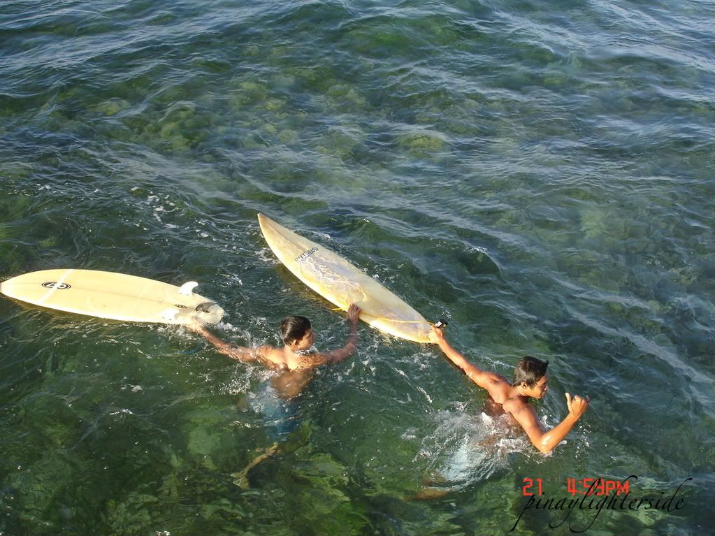
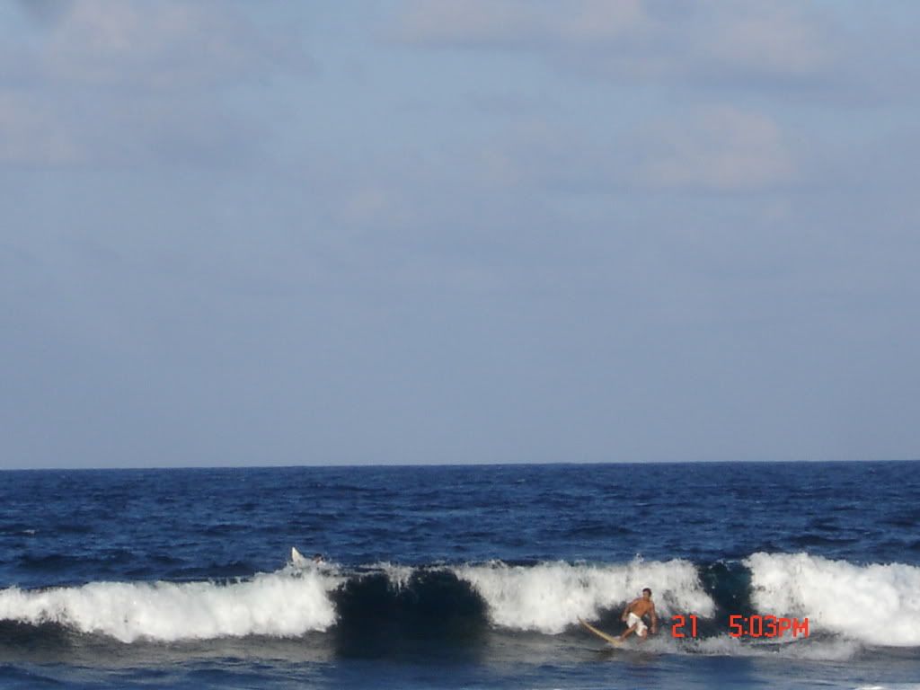
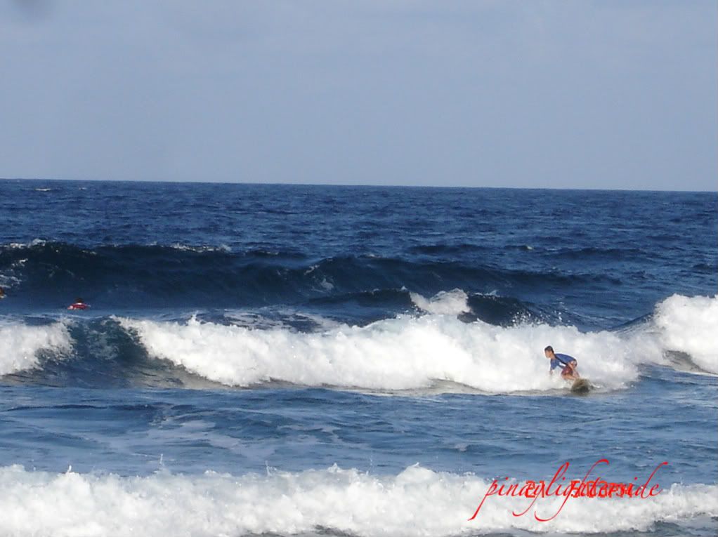
Local surfers checking out the waves.

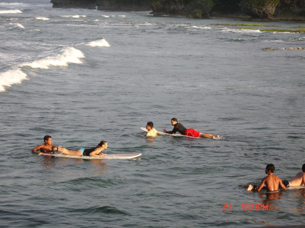
Beginners and their surfer-teachers waiting for the waves.

wee-haaaah!!

There's another wave coming!!

Siargao is considered the surfing capital of the Philippines. Famous for its Cloud 9 waves, it has been a popular destination for surfers from all over the world for years now. What I really like about Siargao is that it has retained its island-beach laid-back atmosphere inspite of the influx of foreigner-tourists.

Recently, Siargao is also emerging as a popular gamefishing destination. Siargao also has a lot of activities to offer aside from surfing and gamefishing. Siargao boasts of one of the largest mangrove forest in Philippines. Waterfalls, lagoon, secluded beach coves, and island hopping are just some of the activities that can be done in Siargao. And oh by the way, did I mention that they have delicious seafood straight from the seas?
See the other worlds here.This is my entry for:


SHARE AND ENJOY THIS POST: Digg ThisAdd To Del.icio.us Add To Furl Add To Reddit Fav This With Technorati Add To Yahoo MyWeb Add To Newsvine Add To Google Bookmarks Add To Bloglines Add To Ask Add To Windows Live Add To Slashdot Stumble This
Monday, December 1, 2008

My World#2 Camp Sabros, Kapatagan, Digos City

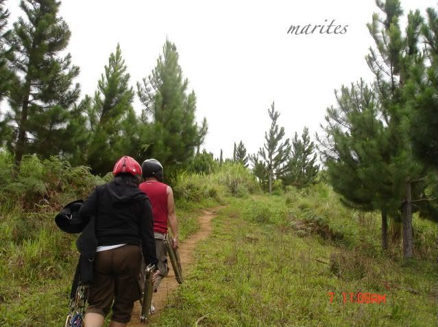
Camp Sabros is located in the highlands of Kapatagan, Digos City which is about an hour ride from the city proper. Digos City itself is an hour ride from Davao City. Going to Camp Sabros is easy. Coming from Davao City, we took the Holiday bus from Ecoland Terminal and were dropped off at the new Digos terminal. We took a pedicap going to the old Digos terminal and from there, vans and jeeps are available for hire at the old Digos Terminal. P80.00 for the jeep fare and just tell your manong driver to stop at the military checkpoint at Sitio Sabras. From the checkpoint, you hike about 30 minutes (about a kilometer distance) to the campsite.

Our fatherly jeepney driver made a deal with us. He’d take us to Camp Sabros and Agong House at P100 for each of us and we won’t have to do the “alas puno” thing for the jeep to get going. Thus, off we go! He suggested to pick us up at the military checkpoint by the highway at 12noon; but we were positive that we’d make it by 11am. Well, we didn’t expect to be too giddy to check out the time that by the time we made our trek back to our rendezvous site with him it’s already past 12noon and our tummies were already complaining big time for the missed lunch.

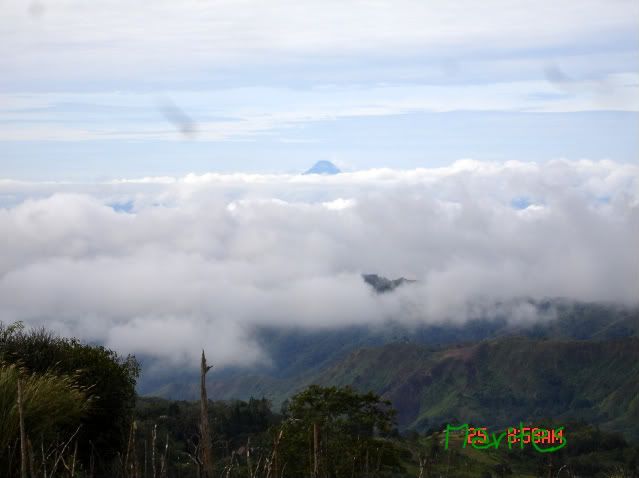
Mt. Matutum peeping out from the clouds.

The grandfather of all Philippine mountains, Mt. Apo. Its peak is usually hidden by the clouds and we were just lucky that it showed its peak while we took our pictures with it.

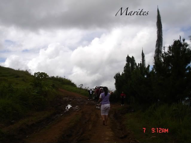
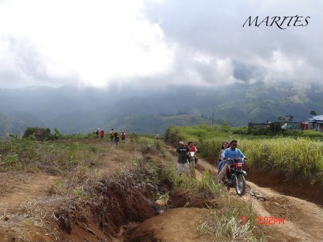
Rough road going to Camp Sabros. The hike is 30-45 minutes from the highway depending on the pace. Prepare to go uphill but it is accessible by 4-wheel drive cars or by motorcycle which one can hire from the highway. Fare is P25 per person.

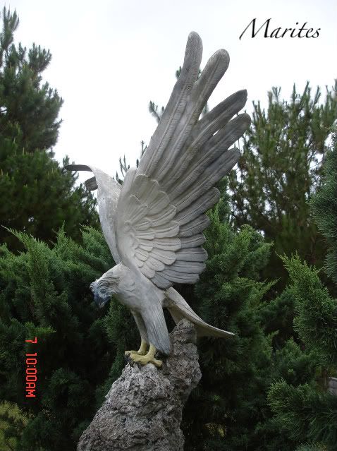
Eagle sculpture inside the camp. The camp has a camping site and a few cottages for rental.


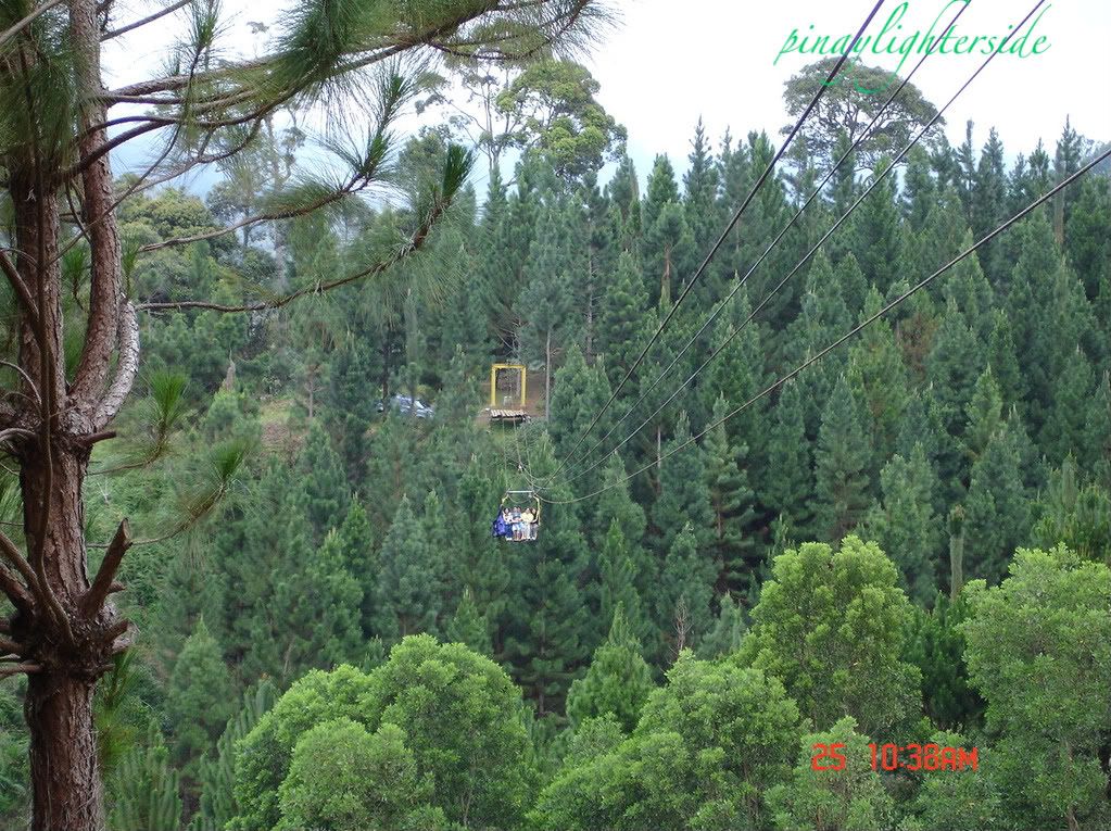
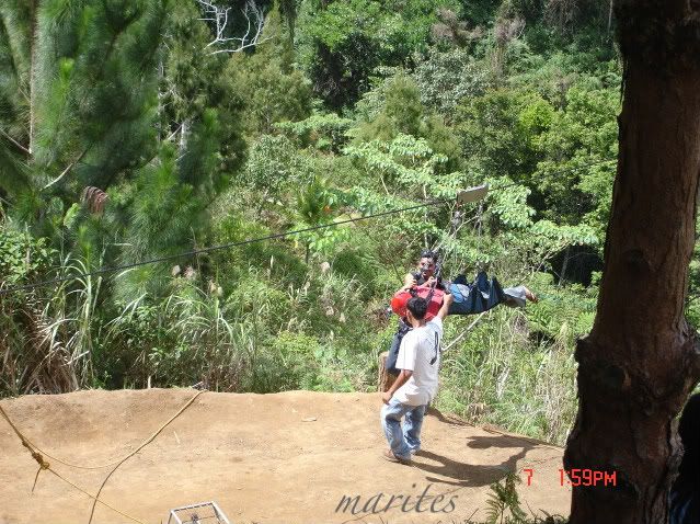
Cable car for the return from the first zipline.


the first zipline (40-second ride, 370 meters long, 180 feet above ground)


Photobucket
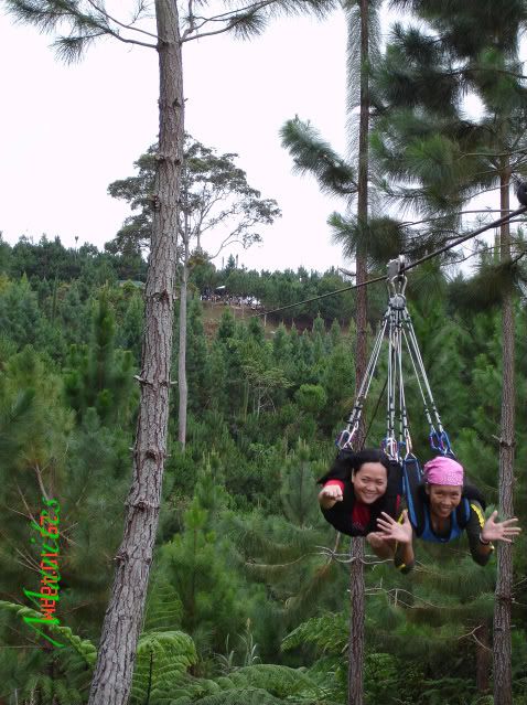
The 2nd zipline platform which is on top of the hill. This one is faster and longer than the first one and hey, this felt like your spirit was given a jolt at the first moments of going down the zipline.
The landing area for the 2nd zipline. The crew will have to be fast enough to catch you or you'll be hanging out above the forest. hehehe!

The motorcycles that ply the area. The area can get foggy because of its elevation. It does give a feeling of being among the clouds.

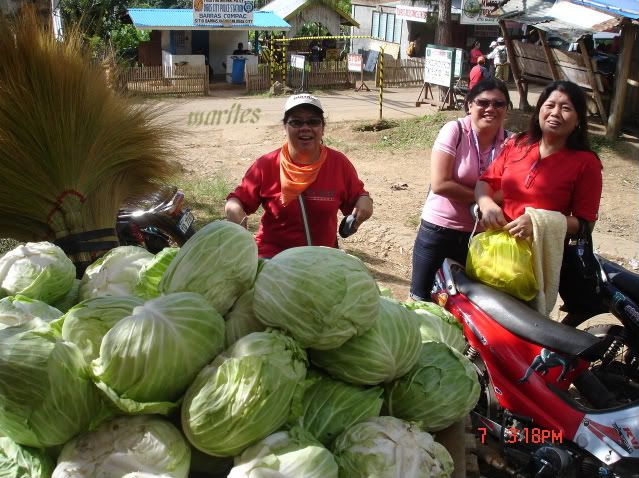
After the exciting zipline adventure, you can buy vegetables and fruits at the highway.
See the other people's world here.

SHARE AND ENJOY THIS POST: Digg ThisAdd To Del.icio.us Add To Furl Add To Reddit Fav This With Technorati Add To Yahoo MyWeb Add To Newsvine Add To Google Bookmarks Add To Bloglines Add To Ask Add To Windows Live Add To Slashdot Stumble This
Related Posts Widget for Blogs by LinkWithin
Blog Directory for the Philippines
Blog Directory & Search engineblog search directory

  © Blogger template 'Perfection' by Ourblogtemplates.com 2008

Back to TOP